
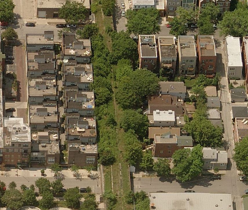
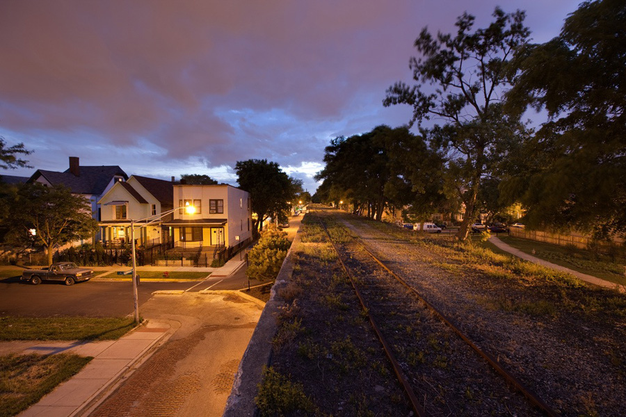
For more than 50 years, the old Rockaway Beach Branch line has lain abandoned. During this time, trees have sprouted and matured along the former right of way, creating a dense canopy and a diverse habitat for birds and other wildlife. With little management and care, illegal dumping has become an increasing problem. Trash and remnants of drug and alcohol use litter the ground. Degraded soil and invasive vegetation of railway embankments allow stormwater to flood adjacent homes and backyards.
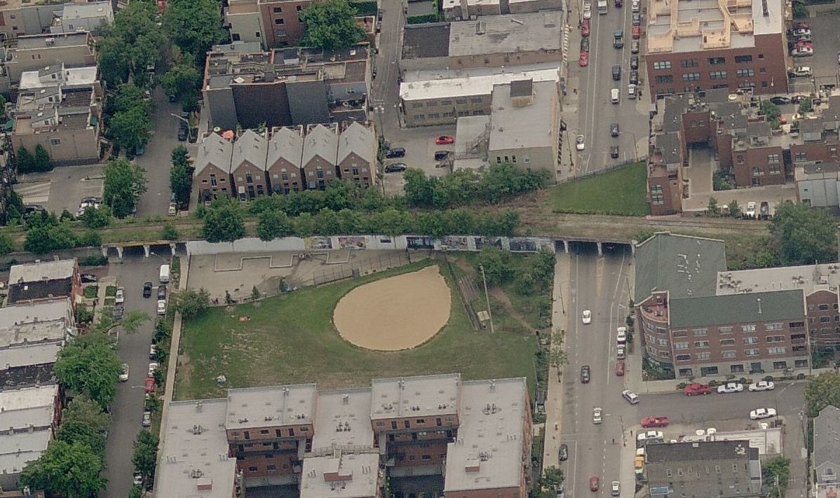
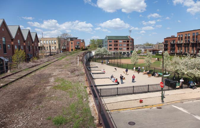
Many people are unaware of this hidden stretch of trees and dense undergrowth intermingling with the old rails, with viaduct bridges at road crossings providing the rare clue to the 3.5-mile path stretching from Rego Park to Ozone Park. However, over the last 10 years many residents have begun to view this land as a potential new amenity for the people of Queens, in particular for the adjacent neighborhoods of Forest Hills, Rego Park, Glendale, Woodhaven, Richmond Hill and Ozone Park. By 2011, an advocacy group called Friends of the QueensWay was formed to advance the conversion of the land into a 21st century linear park for the borough and the City.
The conversion of former rail lines into parks and trails in urban areas dates back several years. These linear parks have become well-loved for recreation uses, experiences with nature, and connections to other parks and to work places, schools, and stores. They have proven to be safe and secure, beneficial to adjacent property values and able to be funded through a wide range of sources. There is a wide array of approaches taken toward key issues such as the trail surface, separated or conjoined paths, lighting, and security measures. Recent years have seen an explosion of new urban trails, with additional activities and programs, transforming many of the linear parks into economic development opportunities as well.
The 606, Chicago, IL
Check out more on the 606
Check out more on the Atlanta Beltline
For more information on other infrastructure reuse projects, visit The High Line Network
The website is focused on six themes that explain the vision for the QueensWay and the QueensWay Plan Map. The six themes, which draw from the aspirations and concerns of Queens residents, are:

The Plan Map highlights where the QueensWay is located within the borough, and what is adjacent to the QueensWay, such as the neighborhoods, schools, subway stops, and restaurants. The QueensWay is divided into six areas. Four of these areas integrate activities and are highlighted by more detailed site plans. Two of these areas, called the “passages,” are closer to homes and will be paths for walkers and cyclists. These areas are, from north to south: The Clearing, the North Passage, the Metropolitan Hub, Forest Park Grove, the South Passage, and The Elevated.