Press & Media
On January 15, 2014, Governor Andrew M. Cuomo announced the award of approximately $67 million in funding for 63 bicycle, pedestrian and multi-use path transportation enhancement projects that will encourage tourism and economic development opportunities across the state. The projects include the addition of accessible sidewalks, improved pedestrian access to public transportation services, construction of new bicycle and pedestrian facilities and the preservation and conversion of abandoned railroad corridors for trail use. Read full story Here
http://www.governor.ny.gov
Continuing their great coverage of the QueensWay Study, Curbed NY features a beautiful Photo Essay of the proposed QueensWay by Nathan Kensinger.
To read the essay on CurbedNY, click Here
What happens to a neighborhood when an abandoned railway becomes a public pathway? In this video, three urban pathway neighborhoods talk about crime and perceptions of safety on the trail, and how community fears were addressed through design, engagement, stewardship, and police intervention.
From 1979 to 1997 four separate studies concluded rail-trails do not increase crime. In 1995 and 1996, Rails to Trails Conservancy studied 372 trails and found that only 3% of trails experienced major crime (10 and 11 trails respectively). Statements from law enforcement agencies that rail-trails do not encourage crime, and cite heavy trail usage as a crime deterrent in areas of former isolation. Read the full report here
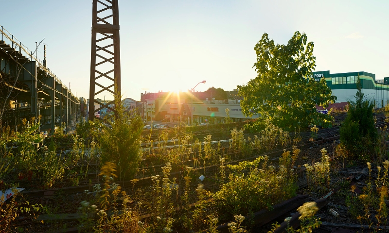
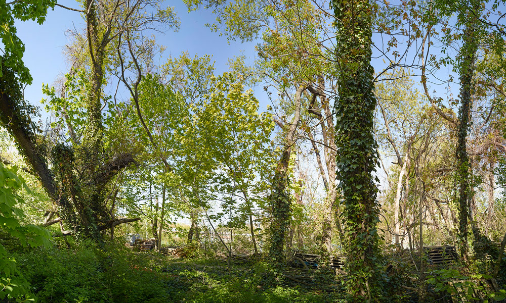
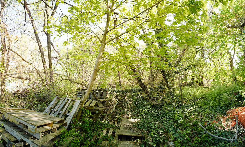
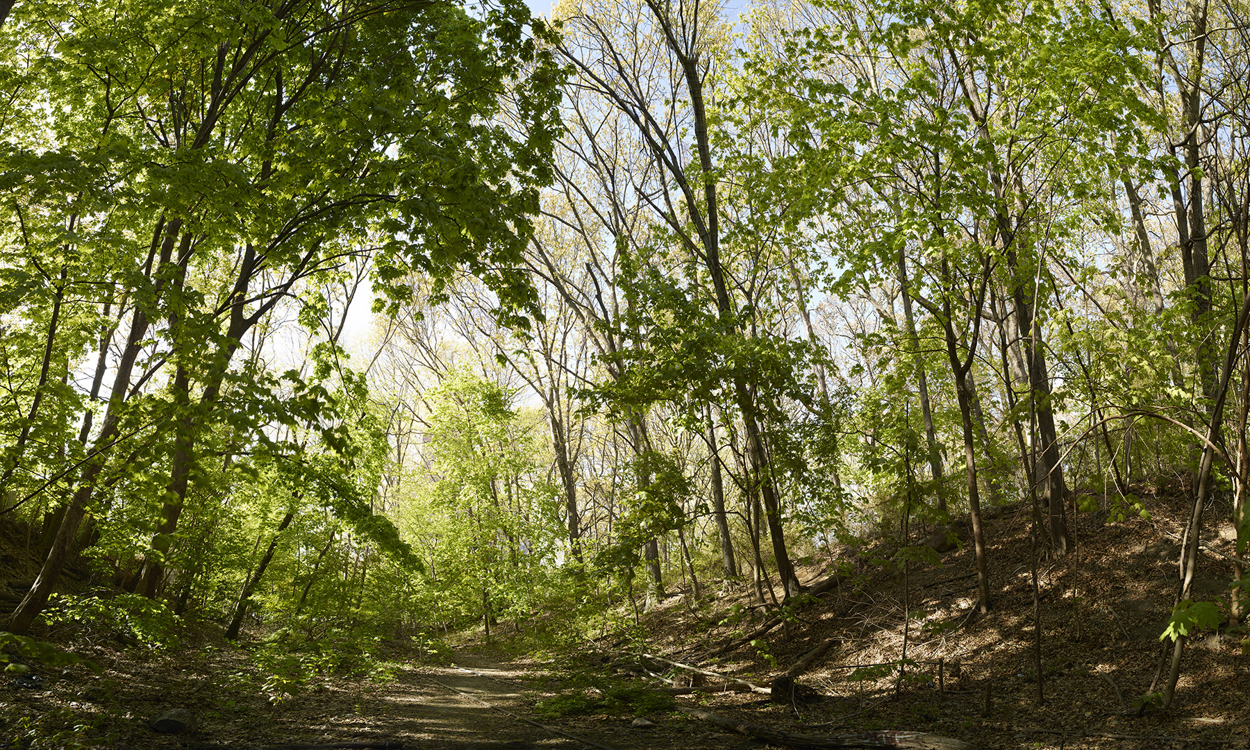
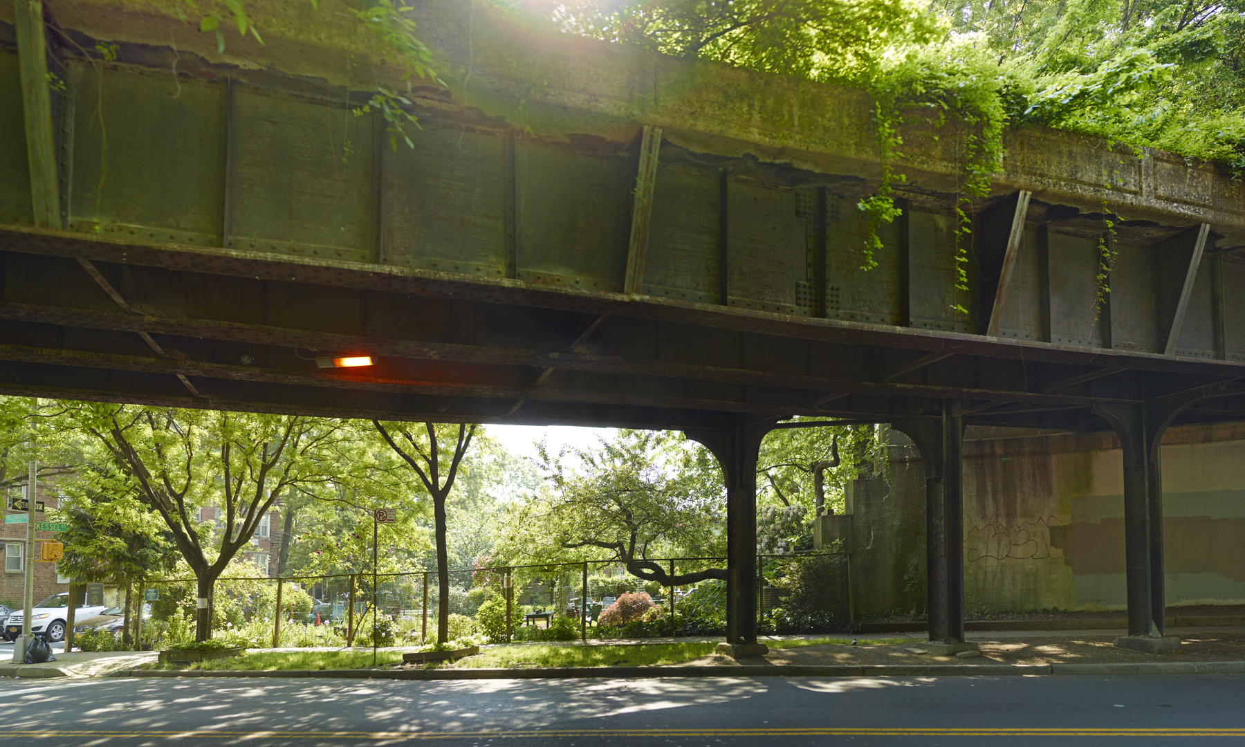
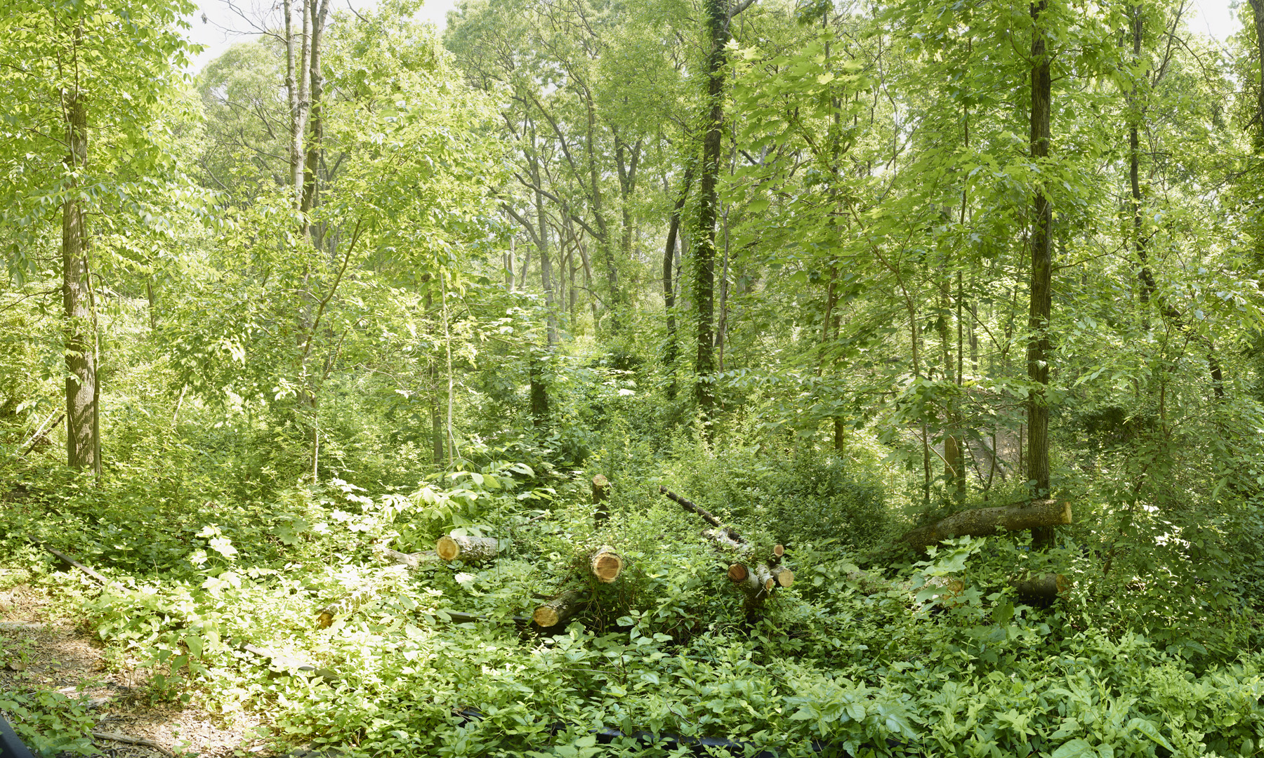
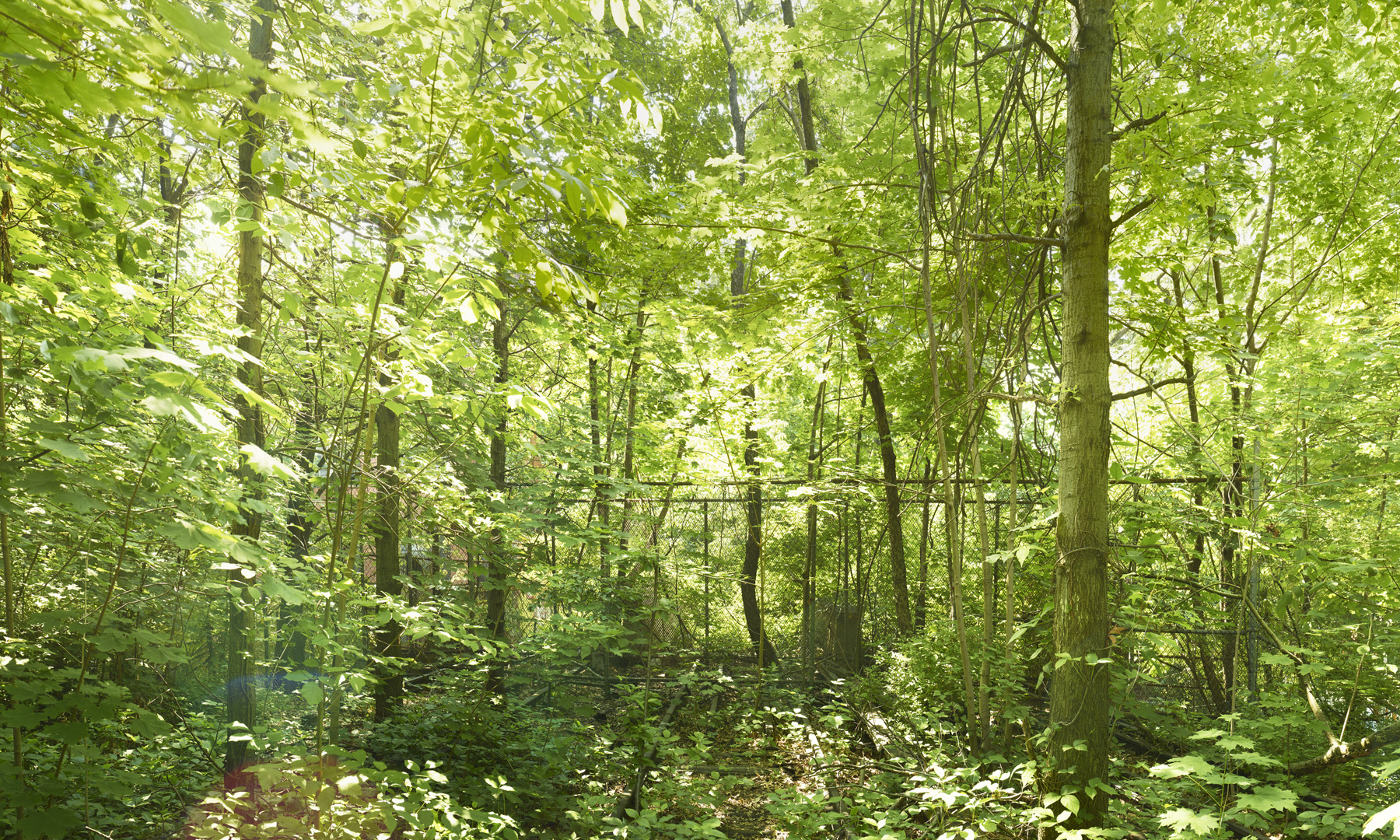
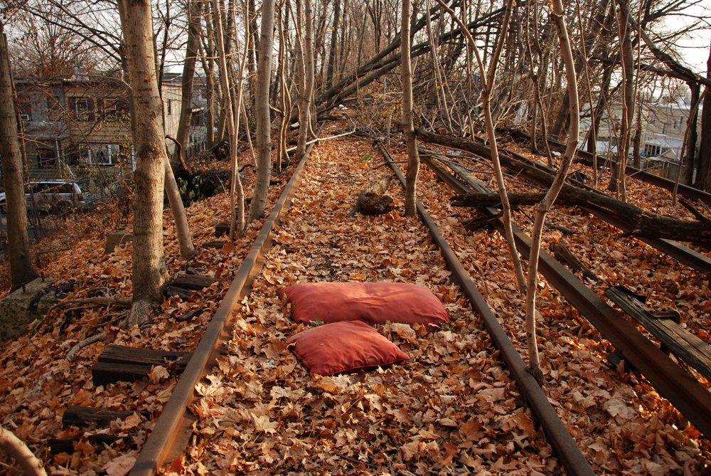
Queens-based photographer Jeff Liao has been documenting the QueensWay landscape as it is unique to each season.
Since our effort began, thousands of Queens residents have joined the QueensWay cause. Below are a couple of quotes in response to the selection of the QW consultant team. Tell us why you support the QW by emailing your story to [email protected]
Andrea Crawford: (Kew Gardens Resident, Vice Chair of Queens Community Board 9 and Member of the Friends of the QueensWay Steering Committee): “The QW will bring easy access to greenspace in our increasingly dense neighborhood. Imagine popping off in Forest Hills and visiting the shops and restaurants on Austin Street, or having access to diversity of retail and food offerings in the culturally rich neighborhoods of Richmond Hill and Ozone Park. Increases in asthma rates in our cities demonstrates the unequivocal need for accessibility to parks. Excessive flooding in central queens emphasizes the need to develop sustainable greenspace to help move groundwater out of the streets and safely into water management systems.”
Laine Metz: “Fifteen years ago, when my sons attended elementary and middle School on the other side of Woodhaven Boulevard I dreamed how they could one day walk down the restored railway leading them to the Woodhaven Blvd underpass, [rather than] crossing eight lanes traffic.
When we heard about QueensWay some years ago we were happy to realize that there are people who thinking… about having it cleaned and open to the public. The Queensway will open so many possibilities to move around neighborhood. Residents from the Metropolitan Avenue area can use this way to come to stores and restaurant area near Stop and Shop. It will also connect with Home Depot and surrounding stores. This south side will also open a direct pedestrian path to the J-train instead of walking along Woodhaven Blvd or taking the bus. I have tried many times to walk with my dog on the old rail-tracks in Forest Park. It is possible in some places, but other areas are choked with fallen trees, branches or simply garbage.”
Anandi Premlall: (Ozone Park Resident and Member of the Friends of the QueensWay Steering Committee): “[the QW] allows anyone, regardless of income, to enjoy the fitness and safer biking, walking options. Parents of children attending schools along the ‘Way will be thrilled to have opportunities to exercise and a way to get their kids to school without worrying about morning car traffic.”
Lou Richman: (Forest Hills): “The proposed conversion of the abandoned LIRR into a linear park that will unite the diverse communities of central Queens with a vital recreational, cultural and economic artery is a thrilling prospect.”
Jack Friedman: (Executive Director, Queens Chamber of Commerce), “The Queens Chamber of Commerce is thrilled about today’s announcement on the launch of the feasibility and planning study for the QueensWay and commend the Friends of the QueensWay and The Trust for Public Land for reaching this important milestone. We are proud supporters of this effort and believe, when completed, the QueensWay will provide a much-needed boost to the Queens economy and its diverse local businesses.”
Jennifer Hensley: (Executive Director, Association for a Better New York): “Association for a Better New York (ABNY) is delighted by today’s announcement regarding the start of the feasibility and planning study for the QueensWay. New York City’s greatness is defined by its unique experiences and opportunities and there is no doubt that the QueensWay will be just that for many generations to come. We commend Governor Cuomo and the Regional Economic Development Council for its prudent investment in this planning effort.”
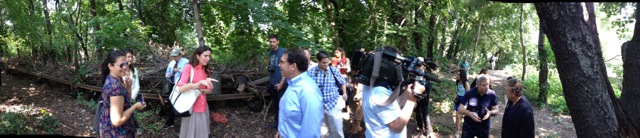
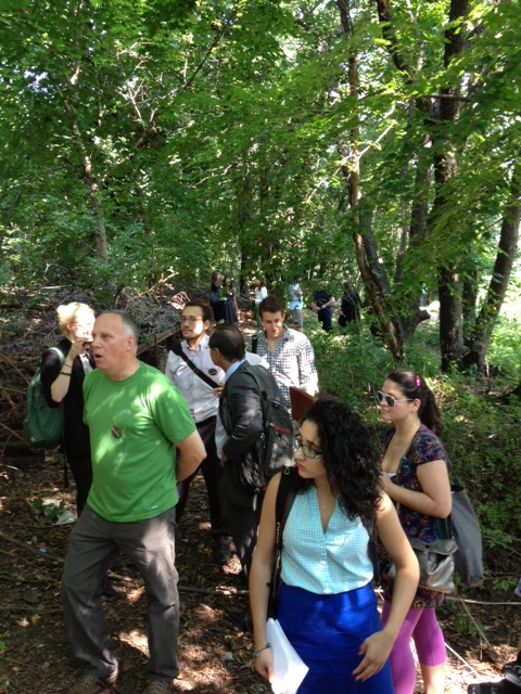
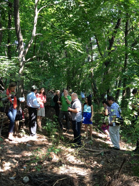
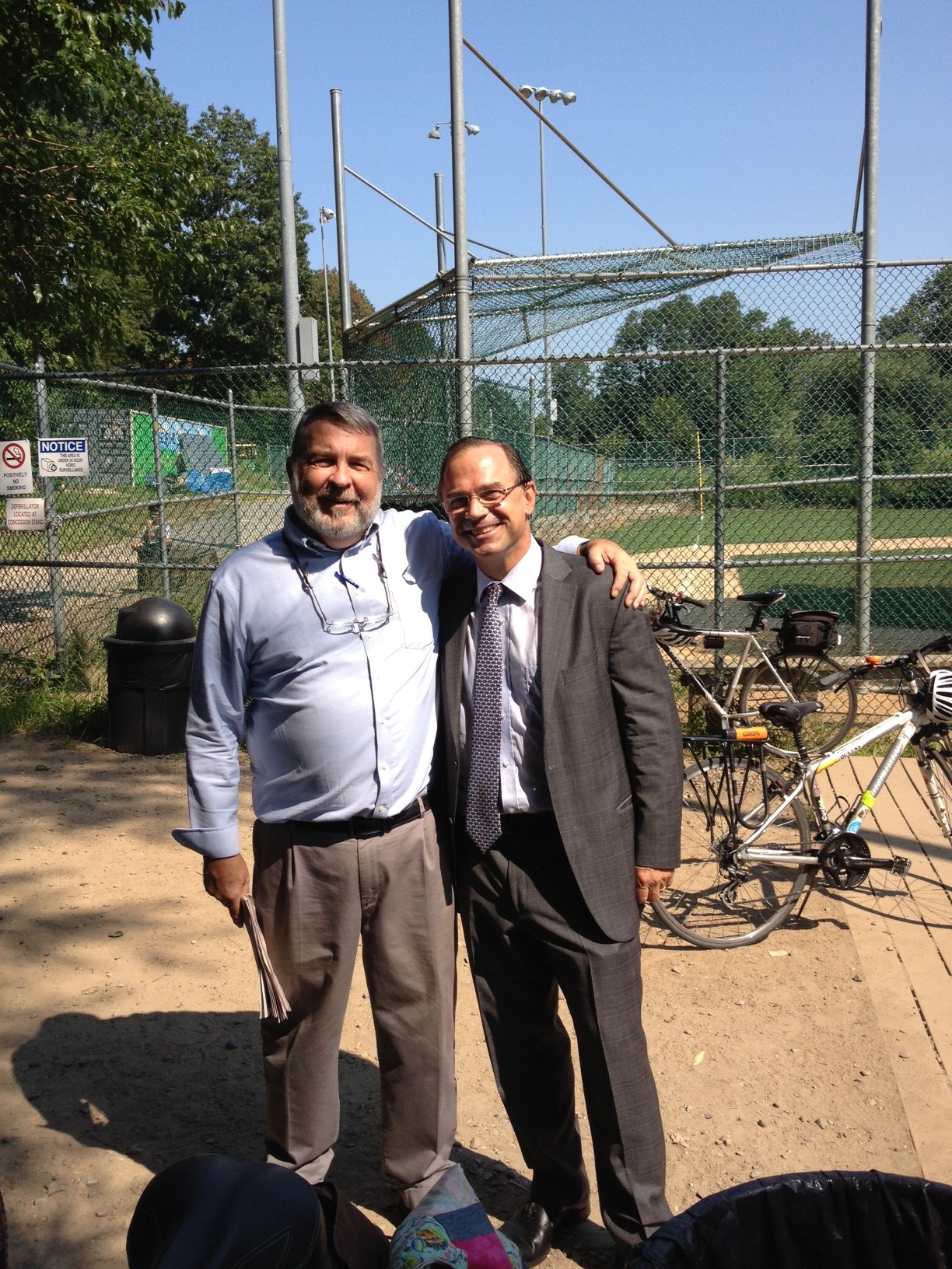
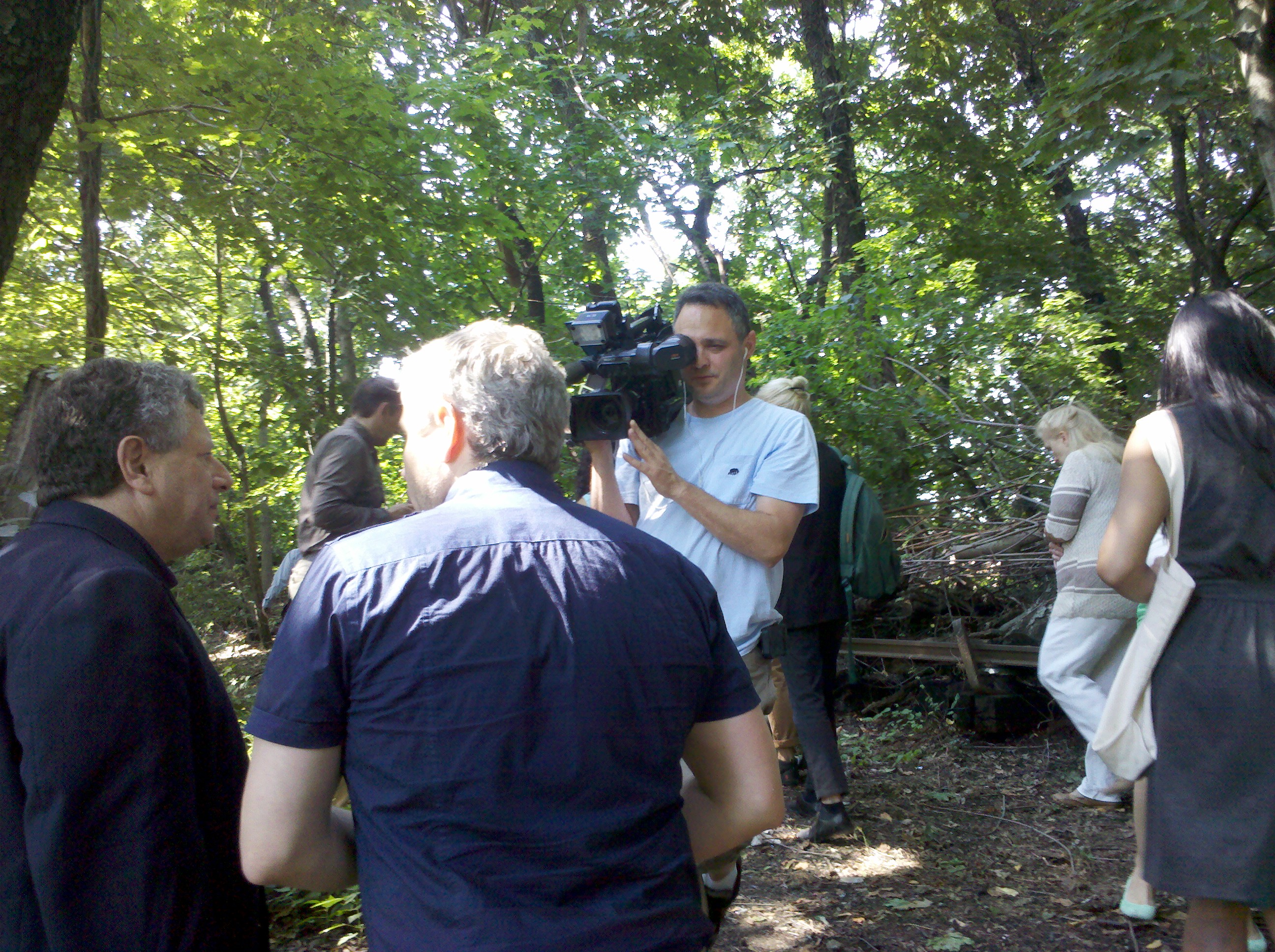
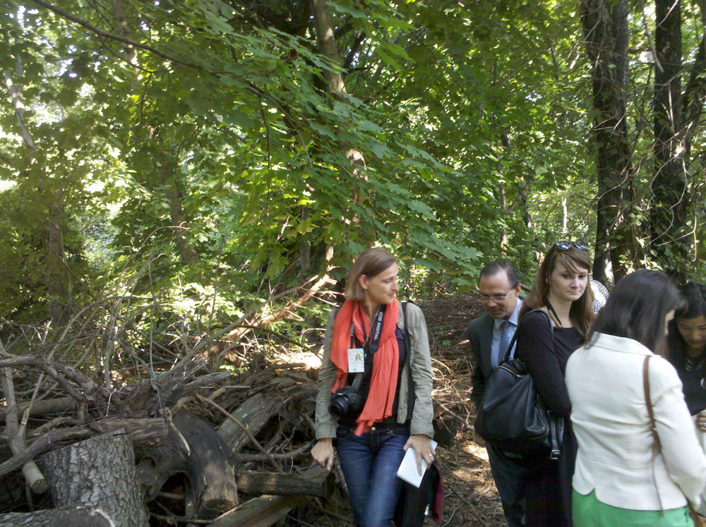
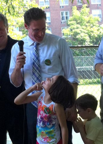
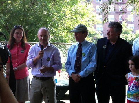
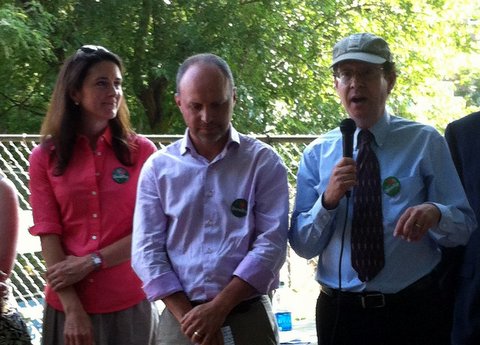
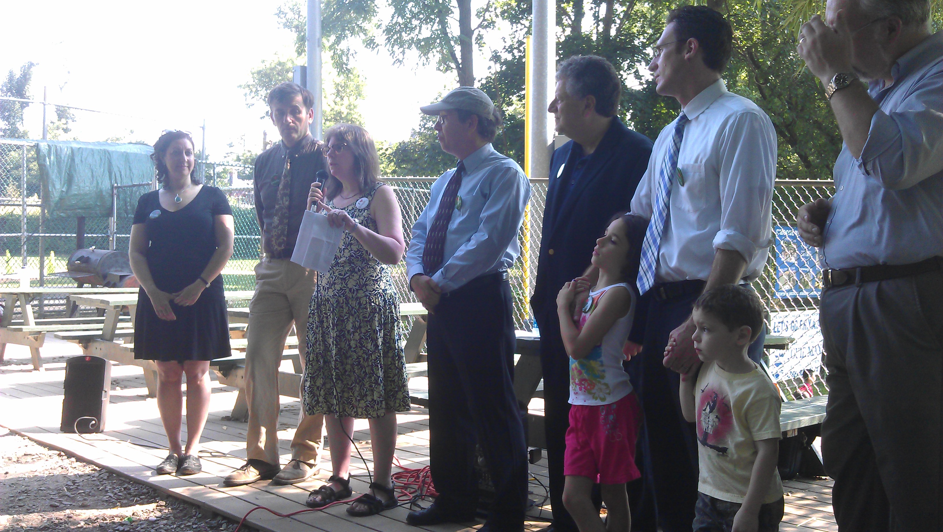
On Tuesday August 20th, over thirty QW supporters and twenty news outlets gathered in Forest Hills to welcome on board team leaders from WXY and dlandstudio, selected by FQW and the Trust for Public Land as QW consultants to begin a 10 month-long feasibility study and planning phase.
By the Trust for Public Land – New York – 08/20/2013
Two New York firms have been chosen to lead a design and feasibility plan to turn 3.5 miles of an abandoned railroad in Queens into the new QueensWay park, The Trust for Public Land and the Friends of the QueensWay announced today.
The firms are WXY architecture + urban design and dlandstudio. They were selected by a panel which looked at 29 proposals from as far away as China.
When it is finished, the QueensWay will create a 3.5 mile linear park along an old Long Island Railroad track path, stretching through central and southern Queens. It will connect multiple communities and provide green space for 250,000 people in the borough. The park will also celebrate the borough’s diversity, with art, sculpture and food from around the world.
Read more about the press conference in the NY Daily News and the Wall St Journal
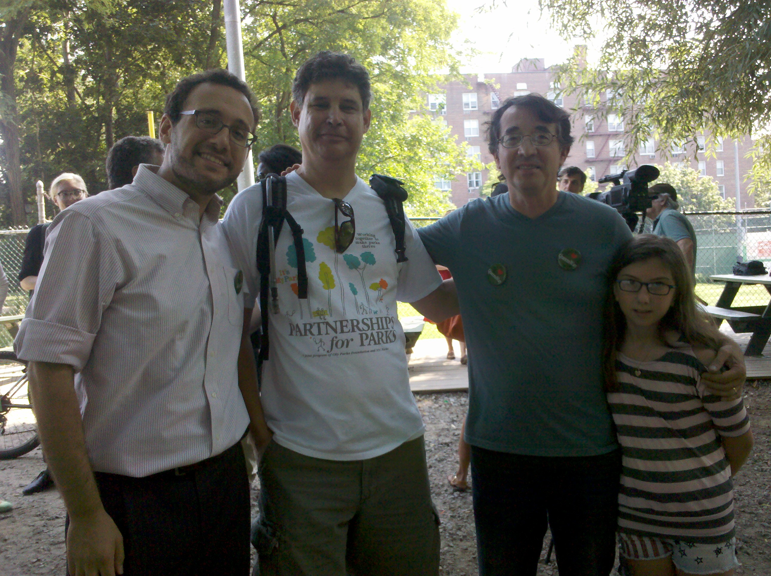
Representatives of FQW and TPL announcing the QW feasability team at a press conference in Forest Hills, 8/20/13
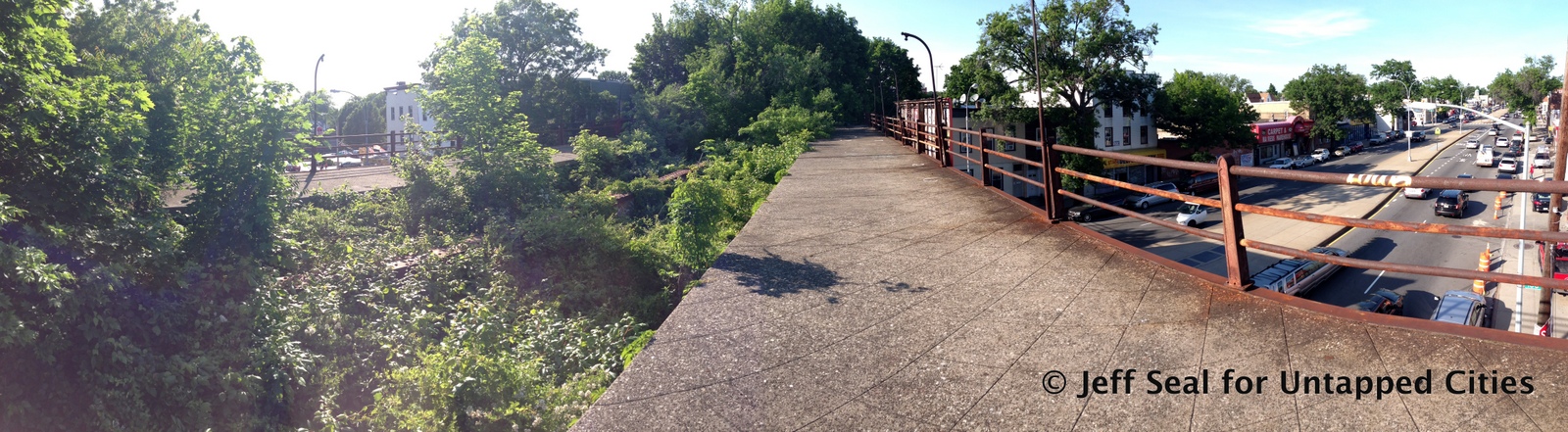
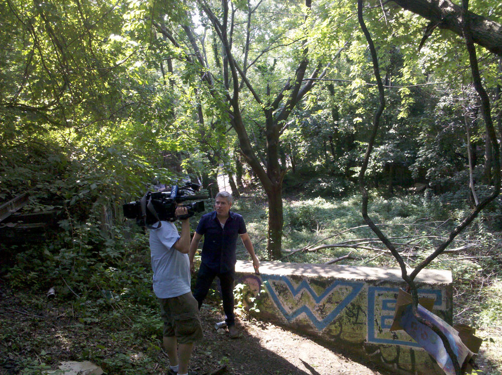
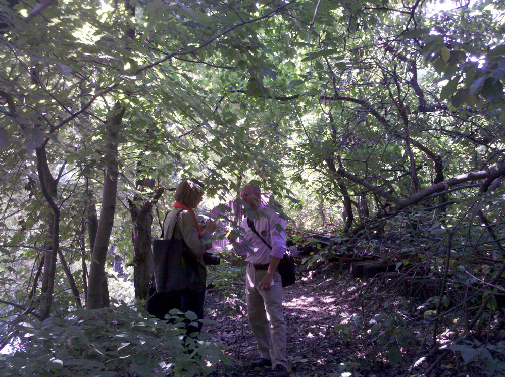
Untapped Cities contributor Jeff Seal traverses the full length of the QueensWay. See the video below for a unique glimpse of the QW’s unique character, up close and personal. For the full story and photos visit UntappedCities
The mission of Friends of the QueensWay is to shape a shared vision: the creation of a linear park, extending 3.5 miles from Rego Park to Ozone Park. The benefits of creating new park space are numerous, with the ultimate goal being that the QueensWay will improve the quality of life of Queens residents. The park will catalyze economic development and job creation, support local small businesses, upgrade environmental conditions, celebrate the diversity of Queens and improve public health and active living for thousands of visitors and park users. While each of those benefits deserves the treatment of a full post, here we’d like to hone in on one particular benefit of creating the QueensWay: enhanced property values.
Intuitively, creating beautiful public space along the abandoned LIRR corridor would add value to the area. Specifically, we believe that the creation of the QueensWay would provide a significant benefit to homeowners with property adjacent to, and near the trail. Research consistently demonstrates that real estate values are positively impacted by the creation of urban greenways and trails.
- “Trails as Economic Engines The amenity value of trails translates into increased property values and enhanced tax revenue for communities. In a study on the impact of trails on adjacent property values in Indianapolis, Lindsey et al. (2003) found that proximity to a greenway generally has a statistically significant, positive effect on property values.”
- Nicholls and Crompton (2005) note that ‘linear green spaces, of which greenways are a prime example, maximize the number of properties that can be positioned adjacent or nearby to them. As a result, a higher number of properties’ values are enhanced and the impact on the property tax base is greater’
- Walk Score, an organization that promotes walkable neighborhoods by providing quantifiable data assessing the ease of walkability in a neighborhood, also provides evidence that suggests homebuyers are increasingly looking for housing that makes walking feasible as a transportation option. Walk Score’s algorithm has gained traction with major real estate search services, including Zillow and Trulia. From a 2009 CEOs for Cities report, Walking the Walk, How Walkability Raises Home Values in US Cities:
- Homes located in more walkable neighborhoods—those with a mix of common daily shopping and social destinations within a short distance—command a price premium over otherwise similar homes in less walkable areas. Houses with the above average levels of walkability command a premium of about $4,000 to $34,000 over houses with just average levels of walkability in the typical metropolitan areas studied. To read more of this report click here.
- In a Trust for Public Land monograph, The Economic Benefits of Land Conservation, Chapter 1 The Impact of Parks and Open Spaces on Property Taxes, John L. Crompton, Texas A&M University, the author reviews four studies, and concludes that there is a preponderance of evidence that parks and open space generate increased property tax revenue and yield a better return on investment than development.